| |
|
| Menu Grid References Accuracy Building a map Artillery boards History |
|
|
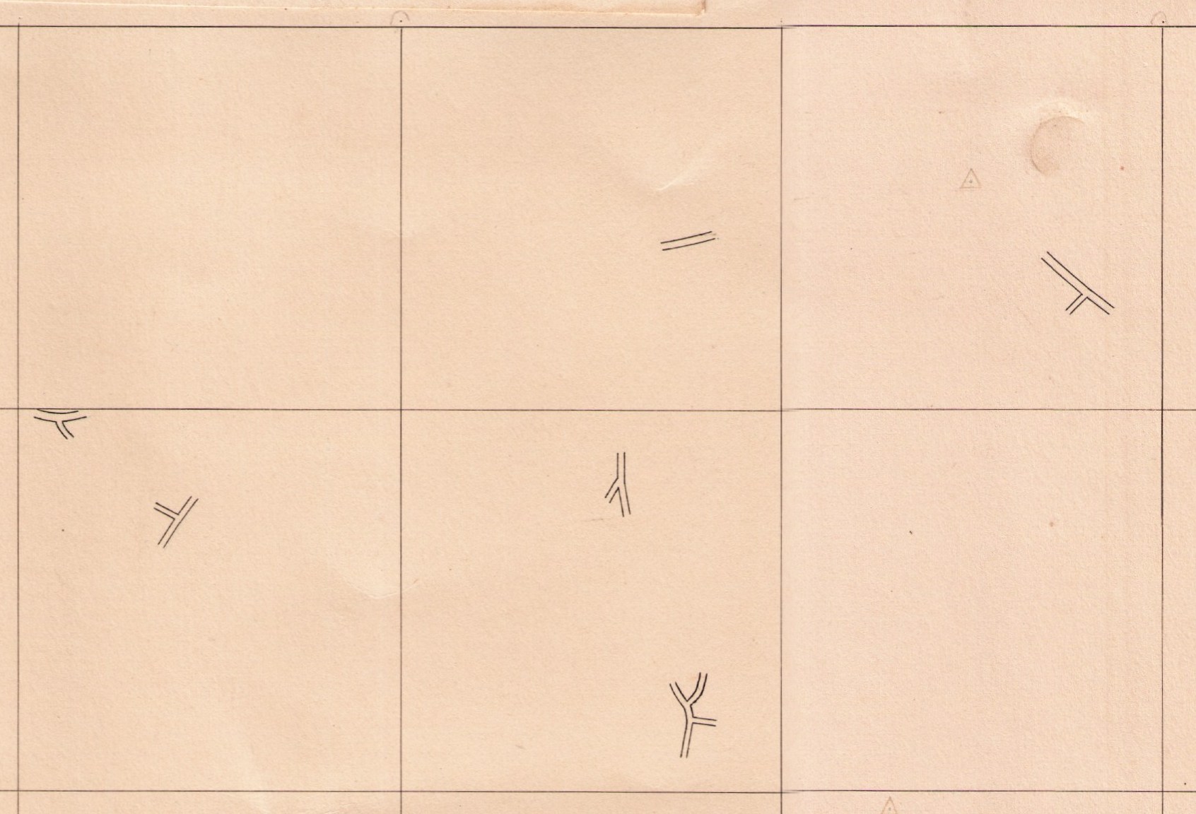
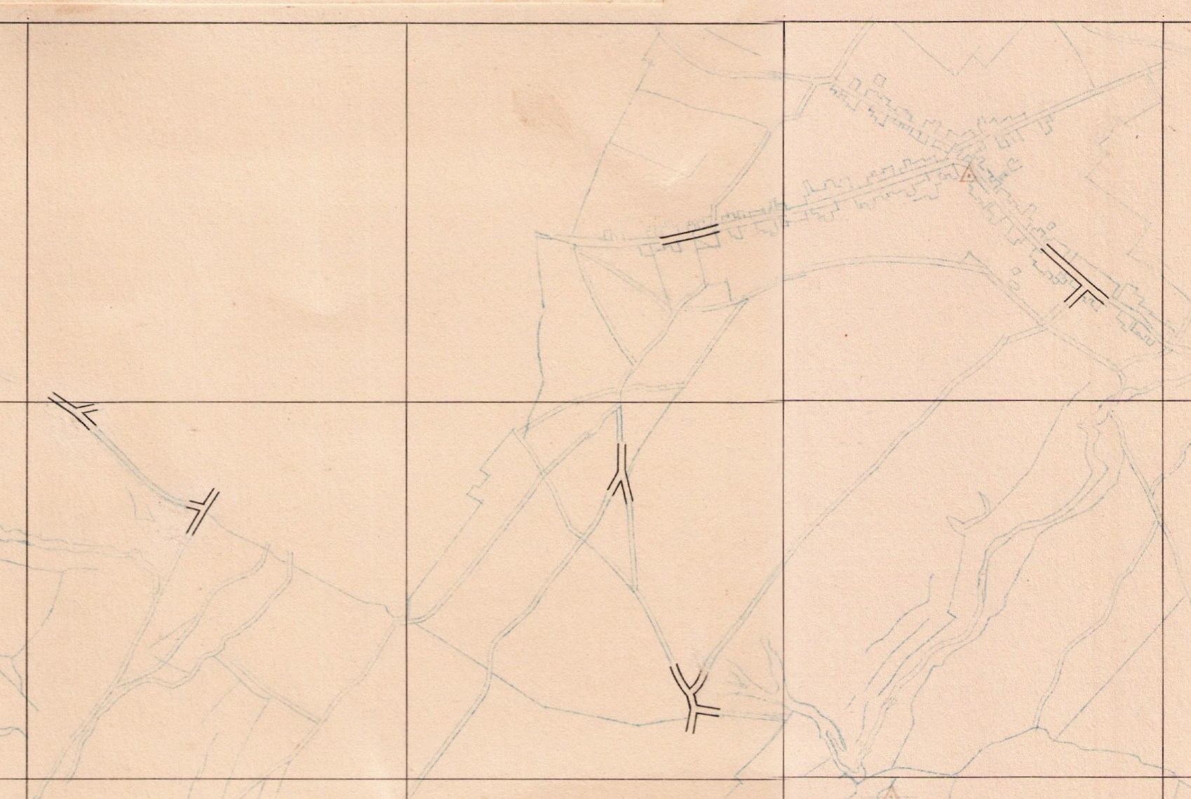
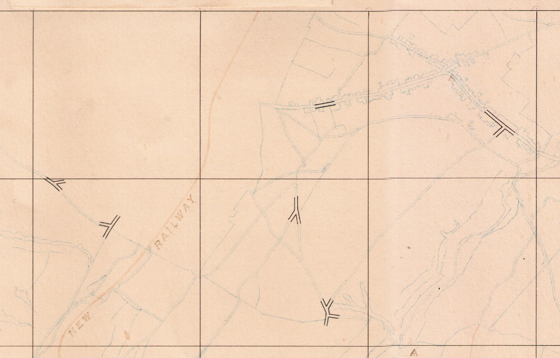
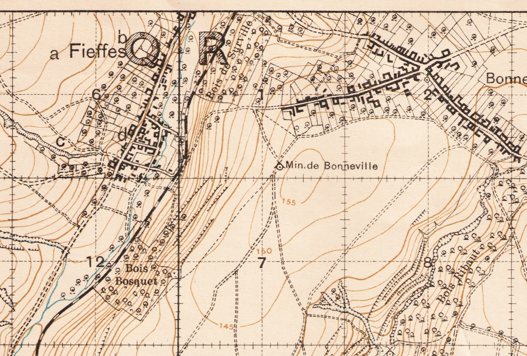
Building a mapWhen the British area was surveyed as an emergency from 1915 onwards, a full blown geodetic grid was not available of the same quality and accuracy as one set out in peactime. Despite that, a map could be built using fixed points then detail added as an overlay such as in this sequence of contemporary examples from sheet 57E SE. Click for larger versions.
Final assembled basemap ready to be over printed with trenches at a later date.
|
|||
|